A Guide to the Geographies of Surrey
A Guide to the Geographies of Surrey
Datasets are not available at all Surrey geographical/area boundaries. When using data, it is important to understand the area which is covered by the data.
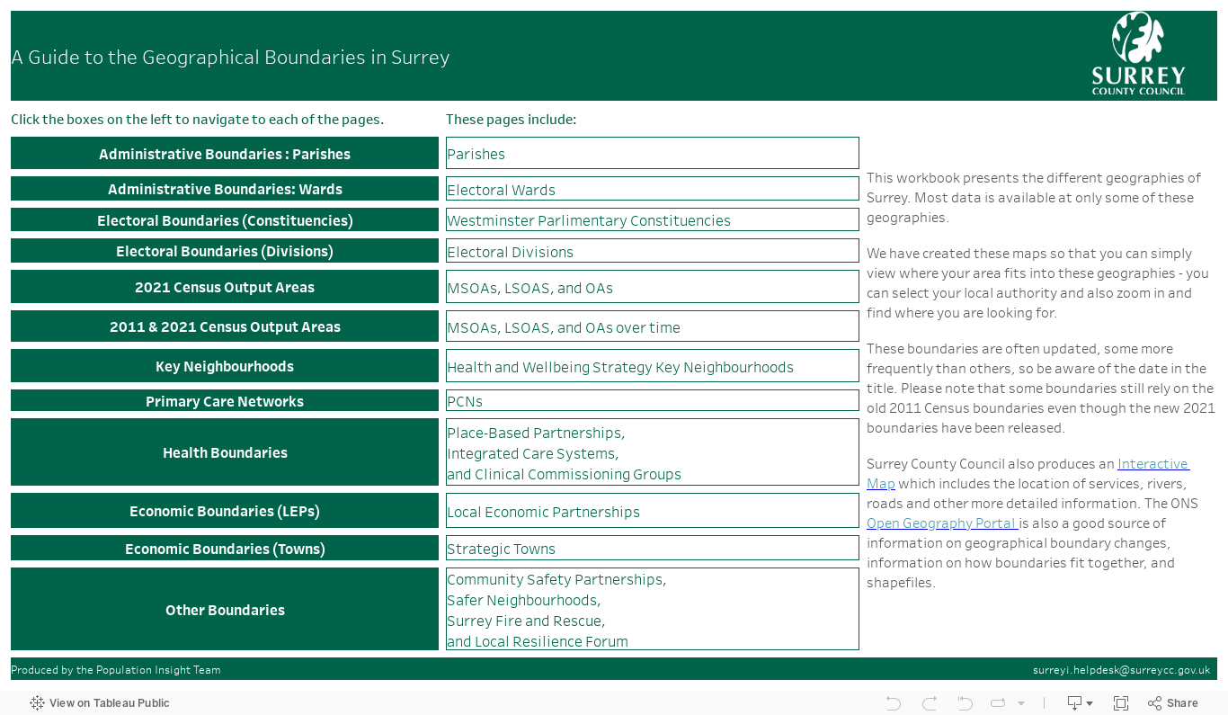
We have produced this interactive resource to help you to easily visualise what areas each geographical boundary covers. A link to the resource which is embedded below is also available.
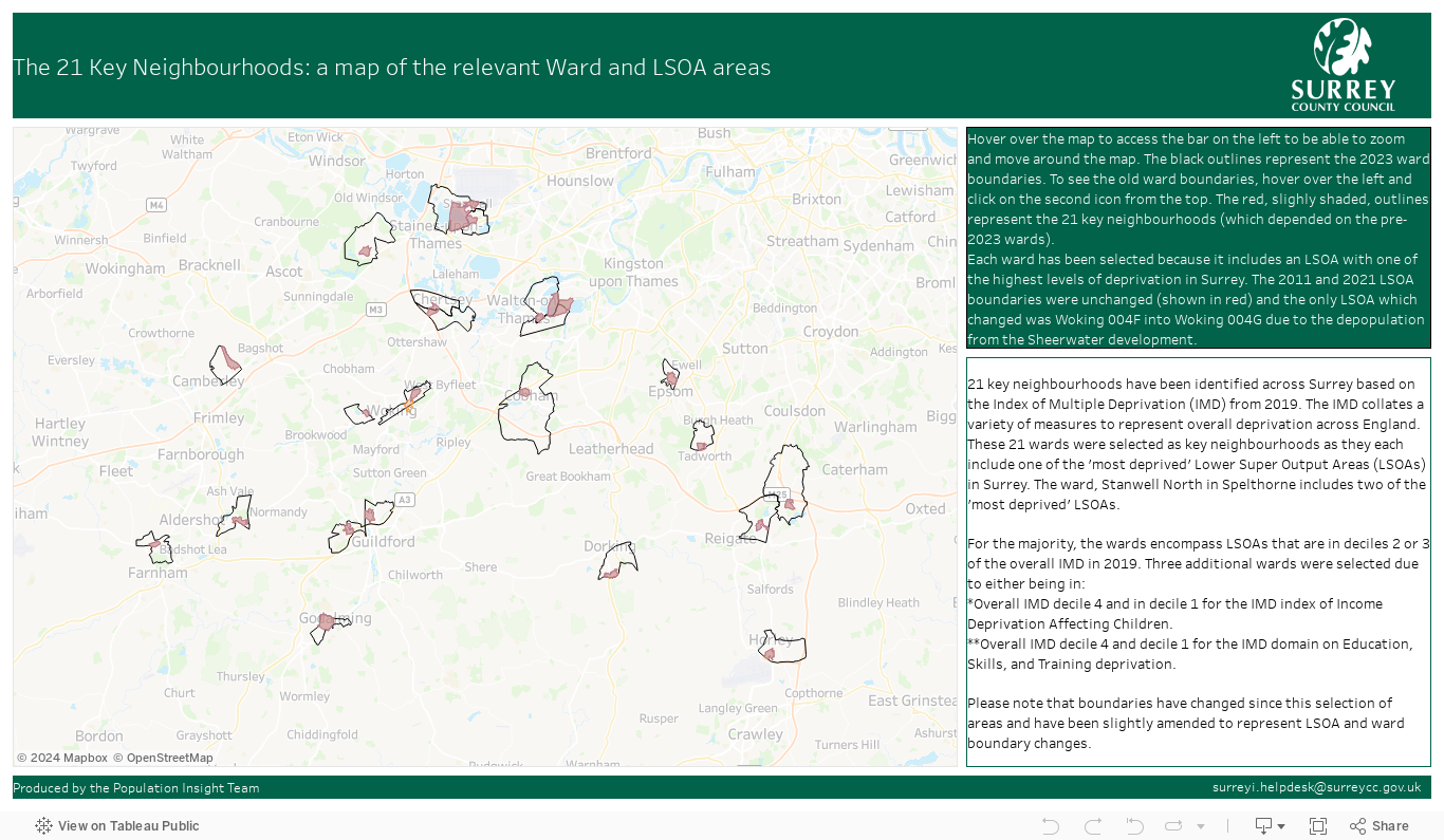
We have produced this interactive resource to help you to easily visualise the 21 Health and Well-being Key Neighbourhoods that have been identified for Surrey. You can zoom into this graph to see which roads/areas are included in these areas. A link to the resource which is embedded below is also available. A summary of data for each of the Key Neighbourhoods has also been created for Surrey-i.